TRAIL JOURNAL
/ June 18, 2022
It wasn’t far out of Kennedy Meadows that we were hiking at 10,000 feet. During the day it was a good hiking temperature, somewhere in the 60s, but it got cold at night. We were now sleeping in our tent for just a bit of extra warmth. It was still pretty dry along the trail, so I don’t think rain in the summer happens too frequently. But mountains tend to make their own weather, so the tent was also to shield us from unexpected rain.
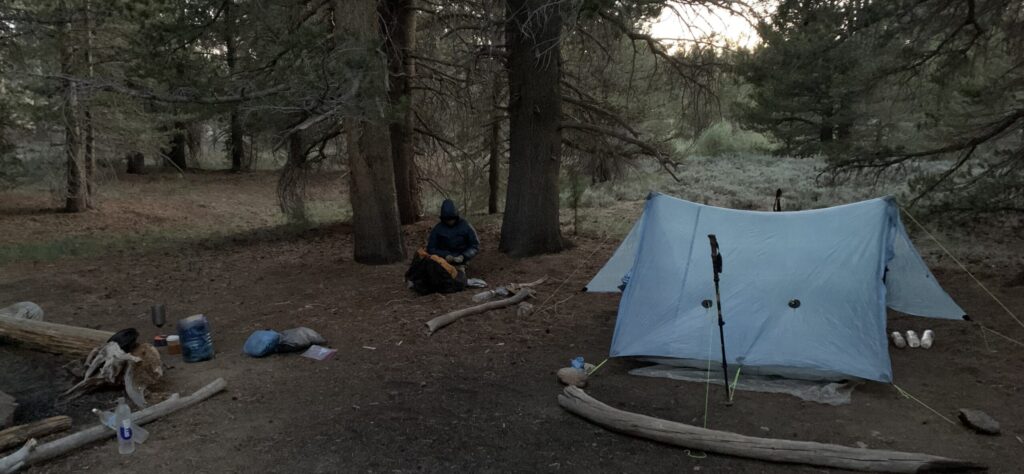
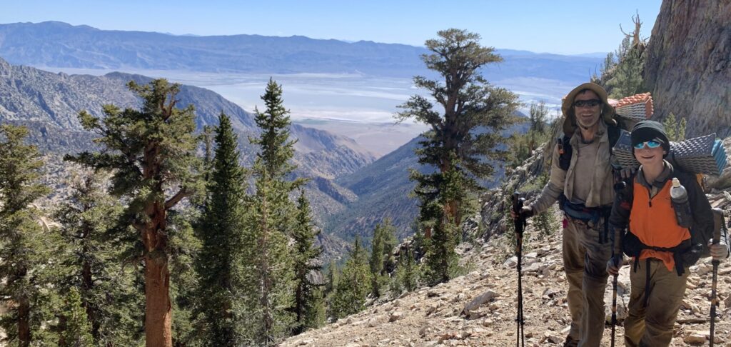
The thing that surprised me the most about this part of the trail was how flat it was. From the desert, the Sierras look like a wall. They kind of are because in some places they rise up more than 6,000 feet in less than 4 miles. But from up here, at the top of the wall, there are mostly meadows: Brown Meadow, Big Dry Meadow, Strawberry Meadow, Gomez Meadow, and Grouse Meadow. There are plenty of nice flat spaces to pitch our tent.
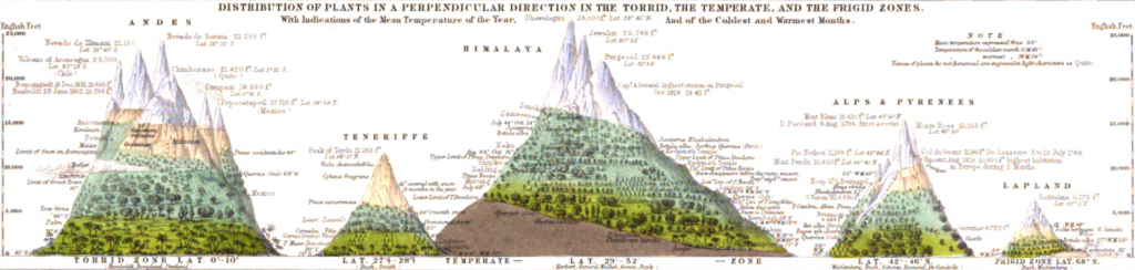
Something else I noticed: even though we are hiking at around 10,000 feet, there are still trees. In Washington State there are no trees at this elevation. Mum found this very cool “map” from 1848 showing the tree line by latitude. We are at 36°N on the trail, which is roughly halfway between the Himalaya and Pyrenees on the map below. When I draw a straight line between the tree lines of both mountains, at the halfway mark the tree line looks to be about 11,000 feet. In northern Washington State, at 48°N, the map puts the tree line at approximately 6,000 feet – which is pretty accurate!
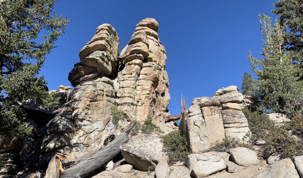
At about 10,000 feet here on the trail, the trees are starting to look gnarled as the harsh winter conditions affect their growth. As we go ‘up’ along the trail in both elevation and latitude, I expect there will be fewer trees altogether and more of the alpine meadows and rocky outcrops that I see in Washington State.
- Magnus!