TRAIL JOURNAL
/ June 25, 2022
After a long sleep, we left Crabtree Meadows and headed north. Now that we had summited Mt. Whitney, the big question in my mind was Forester Pass. It is the first of many well-known passes (northbound) along the John Muir Trail, and it is the highest point on the Pacific Crest Trail. It’s also billed as difficult by a lot of hikers, and we don’t know how that calibrates with what we think is difficult. So our plan assumes that it is going to be a tough hike.
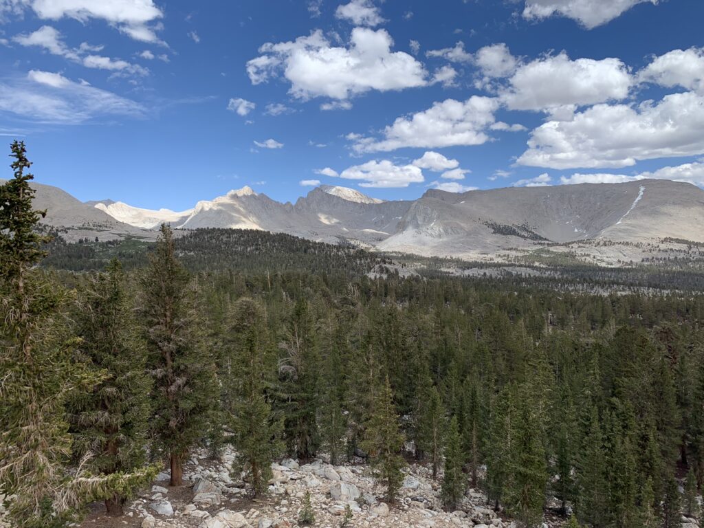
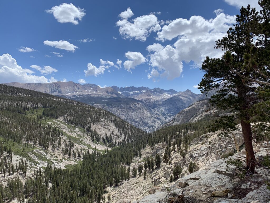
Forester Pass is only 13 miles from Crabtree Meadows. They are relatively easy miles too. Lots of flat-ish plains with great views in every direction. Ordinarily we would easily hike over Forester Pass from Crabtree Meadows in a day, but there are some considerations. There is a physical “hardship” in hiking even the otherwise easy Bighorn Plateau because it is at 11,000+ feet elevation.
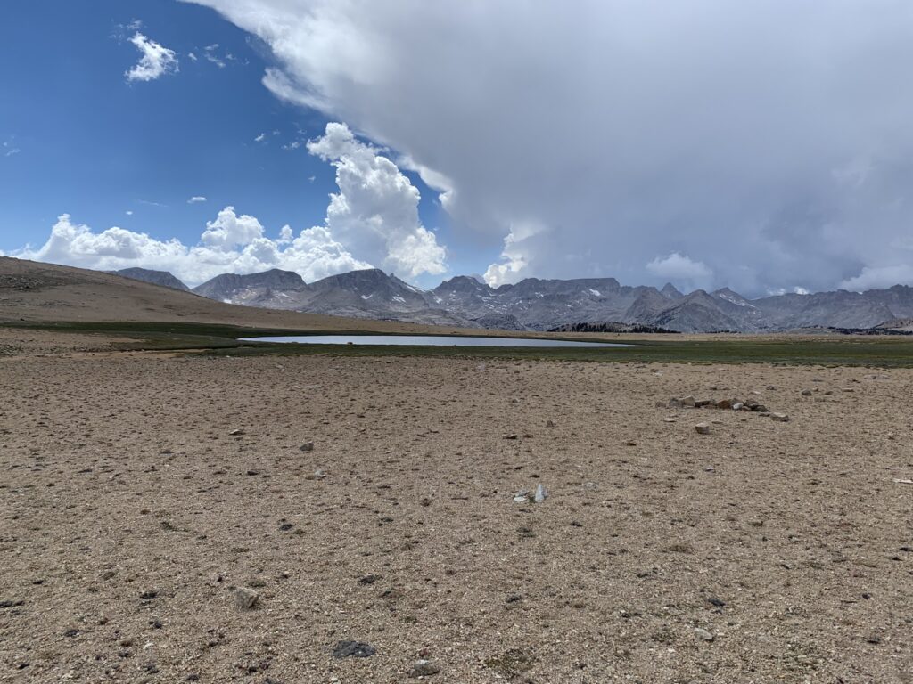
We still have to pace ourselves. The second consideration is about the weather and how it will affect us coming down the other side of Forester Pass at the end of the day. If the northern side of the pass has snow on it, it will heat up and get slushy by the afternoon. Slushy wet snow makes hiking slow and dangerous as feet – and even the entire length of your legs – sink through the snow. Trying to walk across snow that can’t bear weight is called post-holing. Not only do you get soaking wet, but lifting feet with snow stuck to them is heavy and very tiring. After climbing up the southern side of a pass, it’s no fun to post-hole down the northern side. So we were already thinking that the cautious plan would be to get to the base of Forester Pass, camp, and move out over the pass early in the day.
Crabtree Meadows in the morning had started with cute little cumulous clouds scattered about. But like previous days, by early afternoon the clouds had overdeveloped and merged into what looked like a storm cell ready to burst. The ranger installed at the Tyndall Creek ranger station had warned other hikers to not attempt Forester Pass that afternoon given the likelihood of lightning strikes.
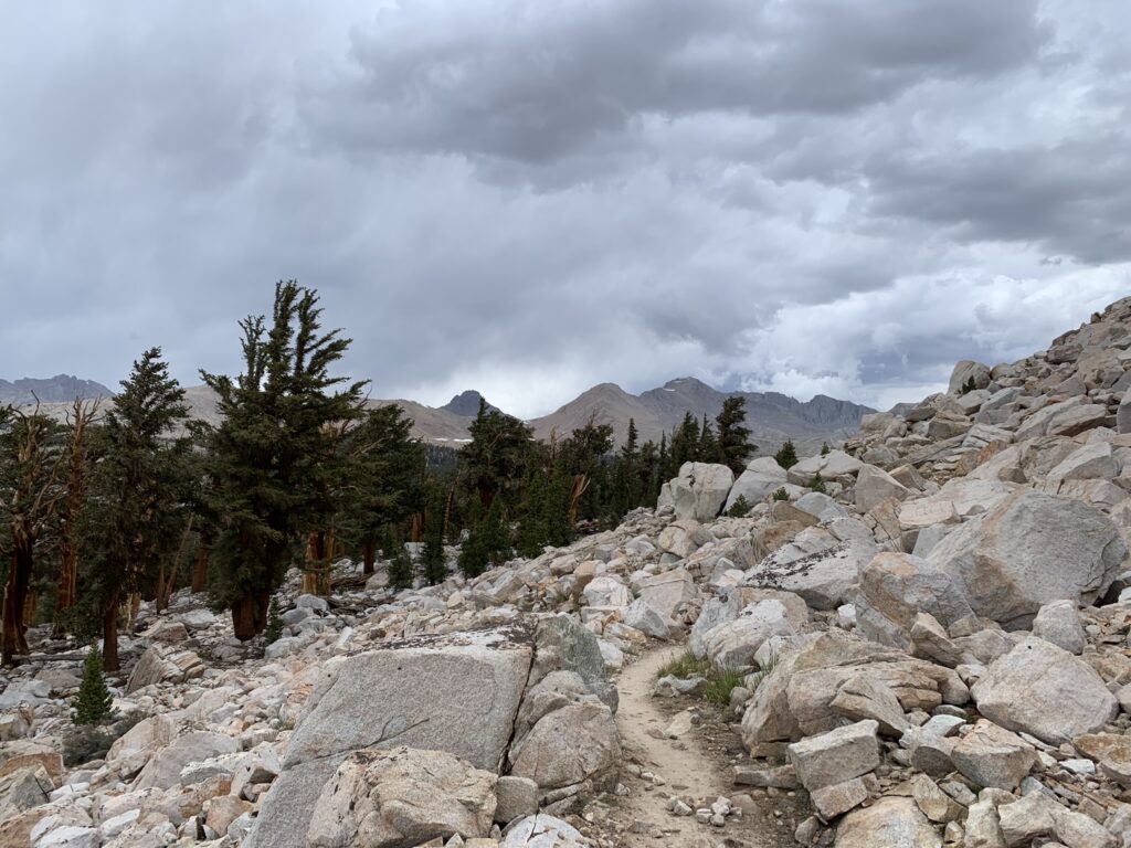
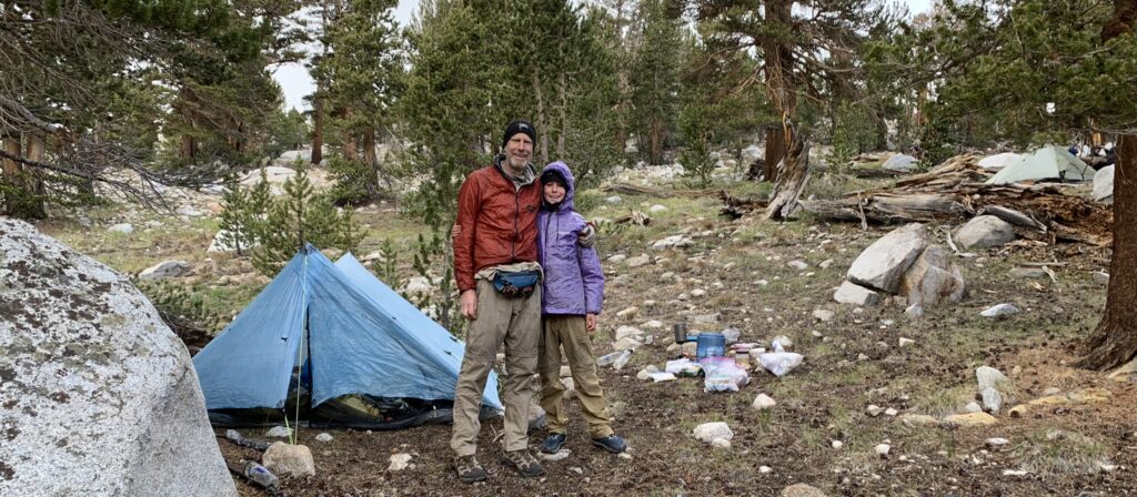
So, even though we had only hiked 10 miles, we got our wet weather gear on and set up camp a few miles from Forester Pass.
- Magnus!