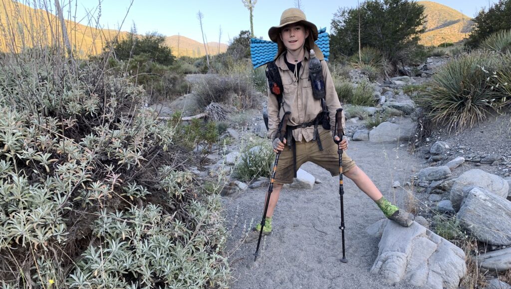
After crossing I-15 we set up camp on the trail where it starts going up into the San Gabriel mountains. At 2:23am as we slept there was a 4.3 magnitude earthquake in Ridgecrest, about 100 miles to our north. I guess it was too far away for us to feel it, although we were pretty much right on top of the San Andreas Fault. Or, we were so tired that not much other than the “big one” would have woken us!
The PCT criss-crosses the San Andreas Fault a number of times in Southern California. The first time that we crossed it was in the valley floor between the northern tip of the San Jacinto mountains and the eastern tip of the San Bernardino mountains. The Fault runs along the ocean side of the San Bernardinos, and crosses over to the desert side of the San Gabriel mountains near Cajon Pass. Right where we were camping!

The Fault is the physical border of the North American plate, which is pushing south-east, and the Pacific plate, which is pushing north-west. We keep moving alongside the Fault through Wrightwood and Agua Dulce in this section of the PCT, and then cross over it again for the last time in Tehachapi on the other side of the Mojave. At this part of the San Andreas Fault, the Pacific plate is going under (subducting) the North American plate. So, these beautiful mountains are still growing!

